
October showed just how unpredictable fall can be - warm, cold, calm, and stormy, often all in the same week.
From record-breaking heat and a historic hurricane to heavy rain, flooding, and early frosts, the month delivered the full spectrum of seasonal change.
-4.png?width=600&height=385&name=image%20(4)-4.png)
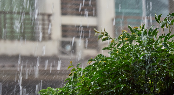
Even as the calendar turned deeper into fall, summer made a few surprise comebacks. Temperatures climbed well above average across much of the country, with several Tempest stations logging highs that rivaled late-season heat records. For many, it felt like the season just couldn’t quite let go of summer. The highest recorded temperature for the month of October by a Tempest station in North America was 106.88 degrees Fahrenheit, which came from a remotely located station in California.
-1.png?width=600&height=385&name=image%20(6)-1.png)
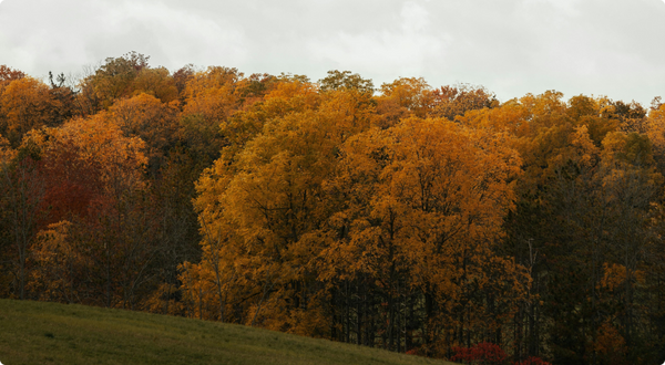
By late October, though, cooler air started winning the battle. The Tempest Network recorded the first widespread frosts and freezing mornings of the season, a sure sign that winter’s edge was creeping closer. In just a matter of days, mild afternoons gave way to breath-visible mornings and crisp, clear nights. The coldest temperature recorded by a Tempest station in North America came from a station in Healy, Alaska at -7.6F.

.png?width=600&height=330&name=Nov%20Tempest%20News%20(5).png)
Tempest in the Elements
.png?width=400&height=400&name=Nov%20Tempest%20News%20(4).png)
Want to be featured next? Tag us or use the hashtag #Tempestwx
Other Weather News
🌀 Melissa's Toll: Insured Losses Could Hit $4.2B
Data analytics firm Verisk estimates that the insured losses from Hurricane Melissa’s Category 5 strike on Jamaica could range from $2.2 billion to $4.2 billion, driven by extreme wind damage and flooding. Read More >>
🔥⛈️ New Model Explains How Wildfires Produce Storms
Scientists have successfully modeled pyrocumulonimbus, fire-driven thunderstorms, recreating the 2020 Creek Fire’s explosive behavior to better understand how megafires can influence weather. Read More >>
🎮 Visualizing Climate Change Through Gameplay
FutureGuessr is a free online game where players guess future landscapes based on climate-change scenarios, helping people visualize what life on Earth might look like by the year 2100. Read More >>
Back to: Newsletter